

Theses
 |
Thilan Sivamoorthy | Master thesis 2026 | Developing blended learning materials to support understanding of machine learning (ML) in satellite imagery: from traditional ML methods to geospatial foundation models |
 |
Felipe Vásquez Tavera | Master thesis 2024 | Clustering of classified satellite imagery timeseries for identifying settlement typology in Mankweng and environs, South Africa, and communication of the results by visual means |
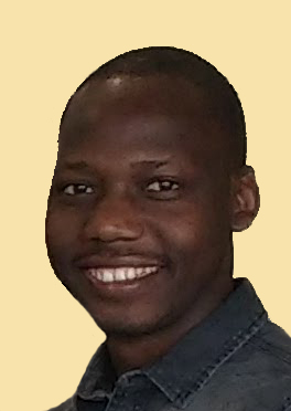 |
Thomas Enuru | Master thesis 2022 | Geospatial assessment of determinants of health and wellbeing in wetland-dominated areas: A case of Busukuma sub-county, Wakiso district, Uganda) |
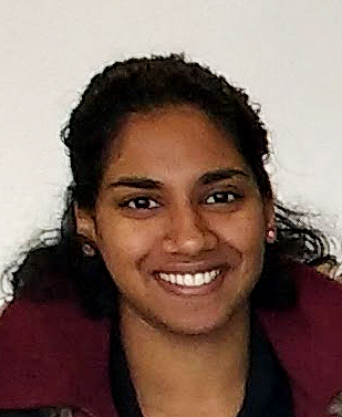 |
Larissa Pillay | Master thesis 2020 | Development of a decision tree for cartographic representation methods or map types based on big geospatial data as data |
 |
Francis Onyambu | Master thesis 2019 | Impact of land use and land cover changes on hydrology and apiculture in the Baringo County basin |
 |
Carina Bühler | Master thesis 2019 | Fundamental research on convolutional neural network architectures for extracting spectral features from hyperspectral data – An approach of adapting pre-trained models |
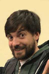 |
Matthias Beier | Master thesis 2018 | Visualizing the daily commutes of Gauteng citizens for decision makers and technical experts and evaluating the visualizations by means of semi-structured interviews |
 |
Hannah Seger | Bachelor thesis 2018 | Prototypische Realisierung eines WebGIS zur Unterstützung nachhaltiger Entwicklungszusammenarbeit auf Rusinga Island (Kenia) |
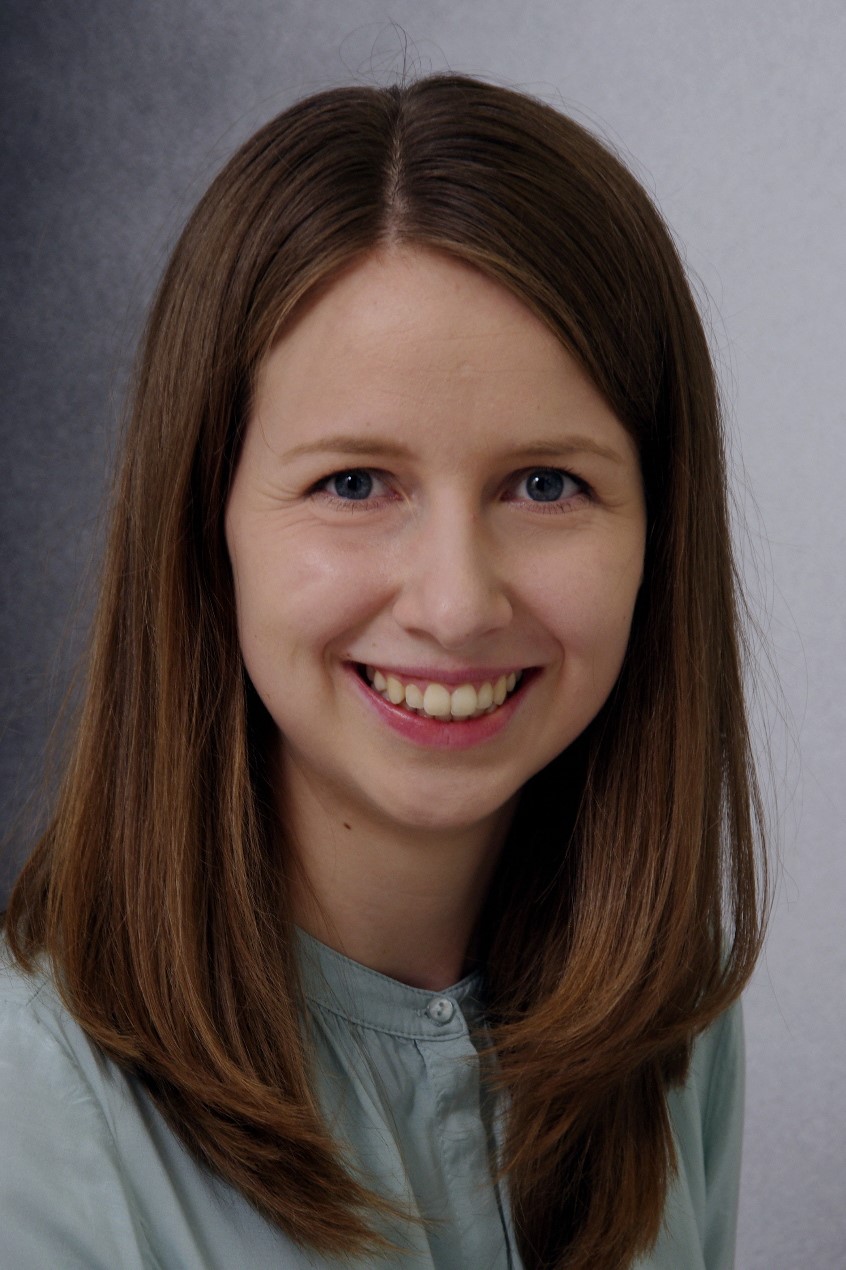 |
Frauke Guttmann | Bachelor thesis 2017 | Entwicklung eines Tutoriums zum Thema „Umsetzung der themakartographischen Darstellungsmethoden mittels JavaScript unter Einbeziehung der Bibliotheken Leaflet und D3" |
 |
Aneeqa Abrar | Master thesis 2017 | Enhancing functionality and usability of nature conservation mobile map apps for the “Rheinaue Rastatt” area |
 |
William Odoi | Master thesis 2017 | Setting up an e-farming alert service on maize planting and potential yield for small scale farmers in Ghana by linking forecast services with remote sensing analysis and mobile text messaging |
 |
Anne Maier | Master thesis 2017 | Combining ground truth information and object-based image analysis for vegetation stratification of the Afroalpine zone along an altitudinal transect at the Kenyan side of Mt. Elgon, based on Sentinel-2 satellite imagery |
 |
Lilija Friesen | Master thesis 2017 | Concept and implementation of a web mapping application for gaining knowledge from patient health data: The case of a community oriented primary care programme in the City of Tshwane (South Africa) |
 |
Jan Jedersberger | Master thesis 2017 | Conceptualizing and implementing mobile mapping tools to support cheetah monitoring in Kenya |
 |
Alex Boie | Master thesis 2016 | Development and Implementation of a Geospatial Online Search Tool for the Atlases of the HsKA Map Library |
|
Irene Johannsen | Bachelor thesis 2014 | Communicating Global Warming to the Public. How Can Climate Change Maps Be Depicted Comprehensibly? |
 |
Inés Martínez Palomero | Master thesis 2014 | Estimating carbon stocks for Kakamega Forest (Kenya) from VHR QuickBird imagery and ALOS PALSAR data |
 |
Lisa Paul | Master thesis 2014 | Participatory development of tools for environmental education in the area of Kakamega, Kenya |
 |
Dorothea Heim | Master thesis 2012 | Challenges of detecting land cover changes in South Sudan by means of Landsat satellite imagery |
 |
Trillium Levine | Master thesis 2012 | Estimating carbon stock in East African rainforest ecosystems: capabilities and limitations of remote-sensing-based approaches |
 |
Johannes Klein | Bachelor thesis 2011 | Dynamische Visualisierung von Szenarien zur agrarischen Landnutzungsänderung im Gebiet Kakamega, Kenia |
 |
Mary Wandia Macharia | Master thesis 2010 | The capabilities of SPOT4 and Landsat SLC-off data to obtain consistent extensions of existing Landsat-derived land cover time series data for tropical forest areas in East Africa |
 |
Samuel Mwenje Nthuni | Master thesis 2010 | Spatial modelling of rainwater harvesting potential for the Kakamega area in western Kenya |
 |
Dennis Hauck | Diploma thesis 2010 | Cartoons in der Umwelterziehung am Beispiel Nutzung des Kakamega Forest durch die lokale Bevölkerung |
 |
Benjamin Asser | Diploma thesis 2009 | Historical Narratives - Dynamische Visualisierung von Landschaftsveränderungen im Gebiet der Kakamega-Nandi-Forests (Westkenia) |
 |
Florence Nyambura Muchori | Master thesis 2007 | The development and implementation of mobile GIS applications of use for research and management in Kakamega Forest (western Kenya) |
 |
Jimmy Kiptoo Ngochoch | Master thesis 2007 | Gridding census population numbers for the BIOTA East Africa study areas - literature-based conceptualization and GIS-based implementation |
 |
Nirmal Ojha | Master thesis 2007 | Development of a GIS-based prototype tool supporting biodiversity research with emphasis on the implementation of specific functionalities |
 |
Patrick Dammann | Bachelor thesis 2007 | Erarbeitung von jeweils auf die Nutzer ausgerichteten dynamischen Visualisierungen - Beispiele aus bzw. für das Projekt BIOTA-Ostafrika |
 |
Kerstin Huth | Diploma thesis 2007 | Entwicklung eines prototypischen, SVG-basierten Tools zur Visualisierung von Geodaten für das Waldgebiet Kakamega-Nandi in Westkenia unter besonderer Berücksichtigung ihrer Qualität |
 |
Hannes Zimmer | Diploma thesis 2006 | Multi-mediale Präsentation des Projekts BIOTA-Ostafrika für eine Ausstellung am Museum Koenig (Bonn) unter besonderer Berücksichtigung der Forschungsinhalte im GIS-und Fernerkundungsbereich |
 |
Tillmann Lübker | Diploma thesis 2005 | Auswertung von QuickBird-Satellitenbilddaten im Gebiet Kakamega Forest (Westkenia) mittels Methoden der multispektralen Bildverarbeitung sowie der objektorientierten Segmentierung |
 |
Oliver Herz | Bachelor thesis 2004 | Georeferenzierung und Mosaikierung von historischen Luftbildern für den Kakamega Forest und assoziierte Waldgebiete (Westkenia) sowie erste visuelle Auswertung bzgl. Landbedeckungsänderungen |
 |
Tobias Lung | Diploma thesis 2004 | Landbedeckungsänderungen im Gebiet "Kakamega Forest und assoziierte Waldgebiete" (Westkenia) - Multispektrale Klassifikation von Landsat- Satellitenbilddaten und Auswertung mittels Methoden im Raster-GIS |
 |
Meike Walter | Diploma thesis 2003 | WebGIS-Einsatz zur Unterstützung von Online- Geodatenkatalogen - Applikationen im Rahmen des BIOTA-Ostafrika-Projekts |
Karlsruhe, 09/09/2026